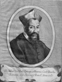
In the second half of the 16th century the cardinal Michele Bonelli (1541-1598), nephew of pope Pius V (1566-1572), initiated the city planning in a huge area of the Imperial Fora, which was then characterized by the presence of groups of buildings, separated by gardens and large green areas. It was thus made a new street system pivoted to a new straight road opened in 1584 and over 400 meters long. This new road (italian: Via) was named “Alessandrina” after his builder: the cardinal was in fact nicknamed “Alessandrino” for he was born nearby Alessandria in the Piedmont region.
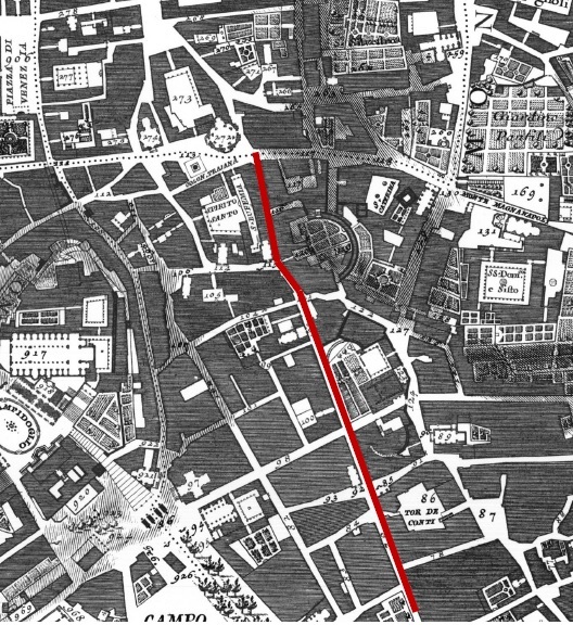
Also the entire neighborhood (italian: Quartiere) that grew in later years around the road was named “Alessandrino” in honor of cardinal Bonelli. The churches and houses that flanked both sides of Via Alessandrina were demolished on the occasion of the excavations carried out during the fascist era, between 1924 and 1932, in order to open the new Via dell’Impero (today Via dei Fori Imperiali).
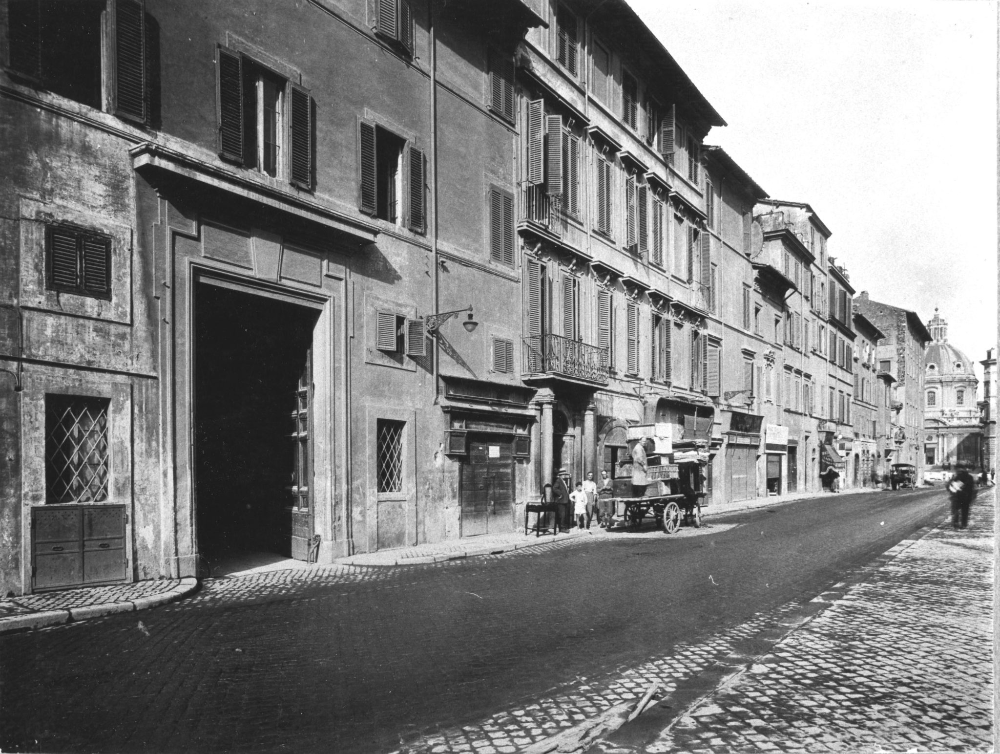
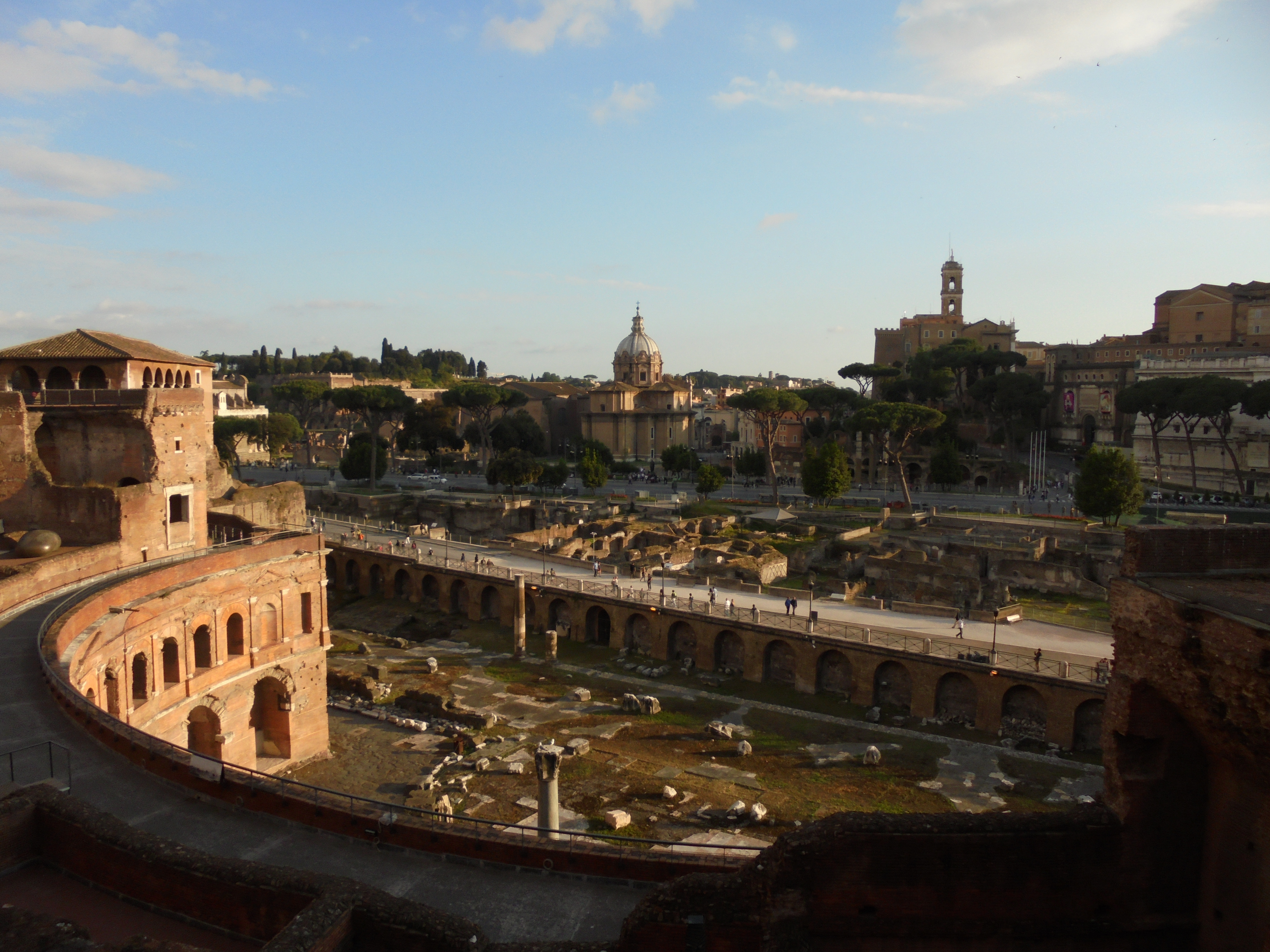
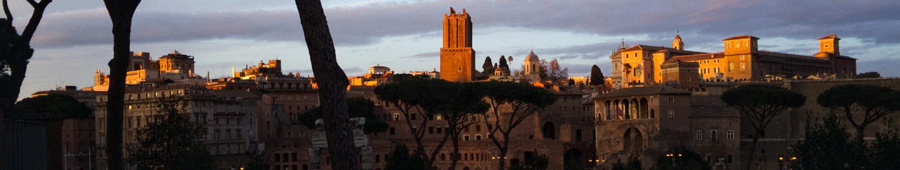
Despite the fact that the road is today completely detached from its original populated context, and the fact that its layout prevents an accurate reading of the Forums of Augustus, Nerva and Trajan, its position allows for a unique and suggestive viewpoint on the ancient architectural ruins.